Doi Inthanon National Park
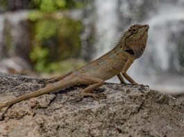
Doi Inthanon National Park, famously known as “The Roof of Thailand,” is a premier protected natural area centered around the country’s highest peak. Rising 2,565 meters above sea level, the mountain belongs to the Thanon Thong Chai Range, a southern extension of the Shan Hills that forms a rugged geographical spine in northern Thailand. Originally known as Doi Luang or Doi Ang Ka, the mountain was later renamed in honor of King Inthawichayanon, one of the last kings of Chiang Mai, who was deeply passionate about preserving the northern watersheds and requested that his ashes be placed at the summit.
Established in 1972 as Thailand’s 6th national park, the sanctuary spans an impressive area of 482 square kilometers (approximately 301,187 rai) across Cham Thong, Mae Chaem, Mae Wang, and Doi Lo districts of Chiang Mai Province. The park is highly celebrated for its immense ecological diversity, transitioning from tropical deciduous forests at lower altitudes to unique, misty upper-montane cloud forests near the summit. Serving as a critical watershed source for the Ping River—which eventually feeds the Chao Phraya River—the park protects hundreds of bird species, rare endemic flora like the Sphagnum moss, and spectacular limestone cascading waterfalls, making it a cornerstone of Thai conservation and eco-tourism.
I do not dispute with the world; rather it is the world that disputes with me.
The Royal Twin Pagodas of Doi Inthanon
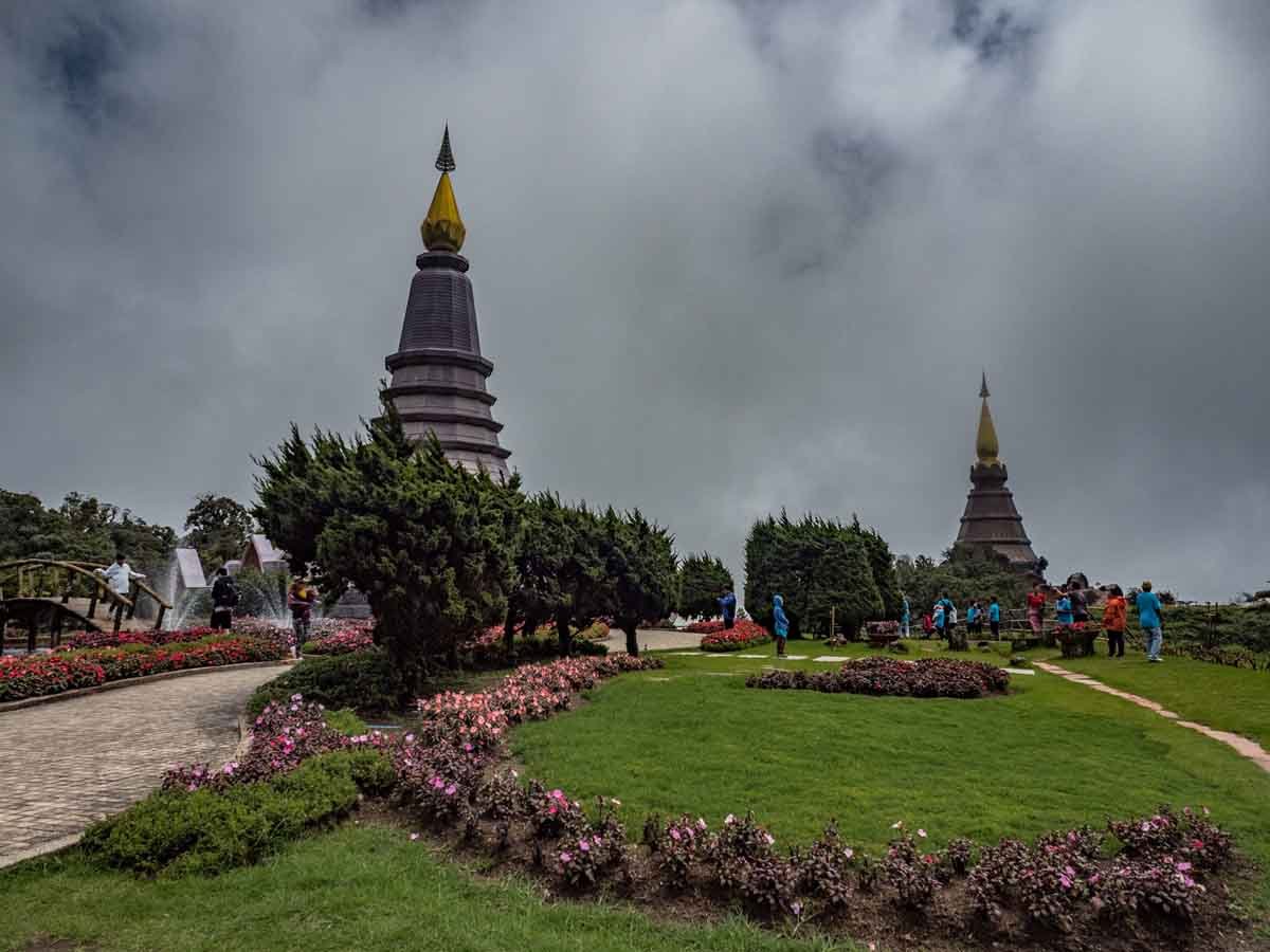
Perched at an altitude of over 2,000 meters, Phra Mahathat Naphamethinidon and Naphaphonphumisiri are two majestic landmarks built to honor the 60th birthday milestones of the late King Bhumibol Adulyadej and Queen Sirikit. The architecture seamlessly blends traditional Thai Buddhist elements with modern structures, surrounded by meticulously manicured cold-climate flower gardens. As the highest panoramic viewpoint in Thailand, the site is frequently enveloped in a sea of mist, offering dramatic vistas over the valleys of Chiang Mai Province.